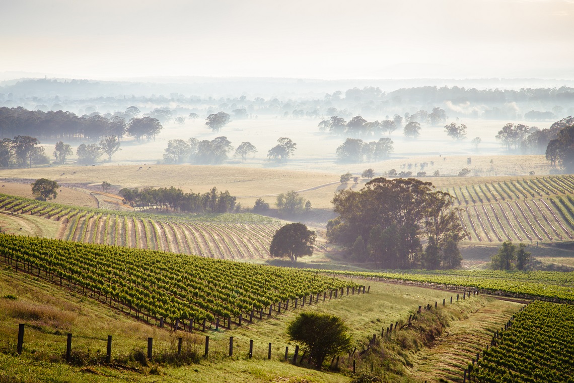
Wine Australia is set to engage artificial intelligence to accurately map the vineyards across Australia’s 65 wine regions for the first time.
High-resolution satellite images and advanced machine learning will be used by Consilium Technology’s world leading agricultural artificial intelligence software GAIA (Geospatial Artificial Intelligence for Agriculture) to deliver a row-by-row census of all of Australia’s vineyards.
Wine Australia Chief Executive Officer Andreas Clark said: “The national scan is an exciting opportunity as it will allow Australia for the first time to have a scalable and repeatable method to measure vineyard area.
“Through the investment, the maps will also be delivered in an online interface that will be able to be accessed by Australia’s grapegrowers.”
The first scan will be completed by mid-2019 and will then be repeated for two years to produce maps for three consecutive vintages.
Wine Australia’s agreement with Consilium Technology follows a successful pilot undertaken earlier in 2018, which returned an outstanding accuracy of more than 90 per cent for scans of the two trial regions Margaret River and Tasmania.
“GAIA’s pilot of Margaret River and Tasmania demonstrated the technology can deliver accurate, timely and cost-effective information about Australia’s vineyards and it is exciting that its capabilities will continue to grow as it learns from the information it receives. We are extremely pleased with the results,” Clark said.
GAIA’s first test was conducted in Margaret River where vineyard locations were already known, and a quantitative analysis of accuracy performed on the results. A second demonstration was then run using the trained algorithm from the previous analysis to demonstrate its learning capability, which showed a five per cent improvement on the previous scan.
Tasmania provided GAIA with an unknown space to work with and the added complication for the software of other crops that have a very similar appearance to vineyards.
“GAIA stood up to the challenge and we’re excited to see how it performs against similar obstacles in other wine regions,” Clark said.
The first national scan will include the geolocation of every vineyard block in Australia, the area of vineyards for each geographical indication and the length of the vineyard rows in each region.
It is anticipated that the information from the scan will also be beneficial to Australia’s biosecurity activities and wine label integrity. To improve the quality of the reporting, grapegrowers will be asked to identify the varieties of the vineyard plots from the scan.